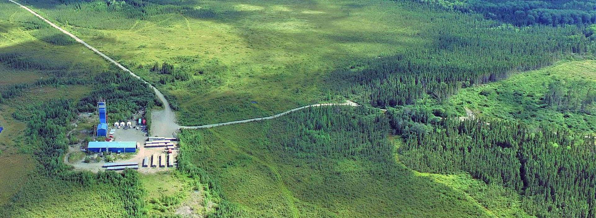
Joutel spans 39 km², located approximately 70 km southwest of Matagami and 125 km north of Amos. The project is contiguous with the southern boundary of the Douay Gold Project and is accessible via Highway 109, which cuts across the project area.
Joutel straddles the Harricana Break and its eastern continuation, the Joutel Deformation Zone, over 15.7 km. See Figure 1 below for the location of Joutel and the Eagle-Telbel deposits relative to Douay.
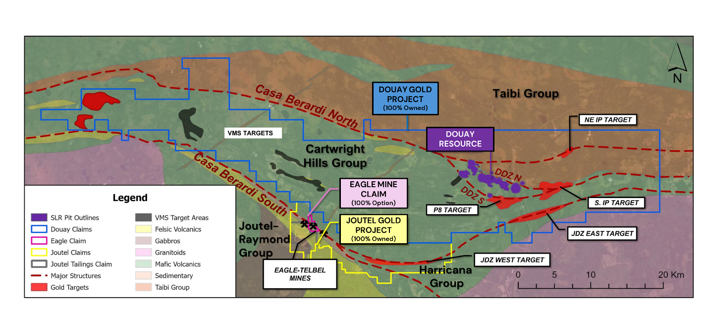 Figure 1: Plan view on regional base map showing outline of Douay/Joutel/Eagle property outline with Casa Berardi Deformation Zone, Douay resource area and Douay regional targets.
For general details on Québec’s infrastructure and mining jurisdiction, refer to the Company’s presentation or the Douay Gold Project page.